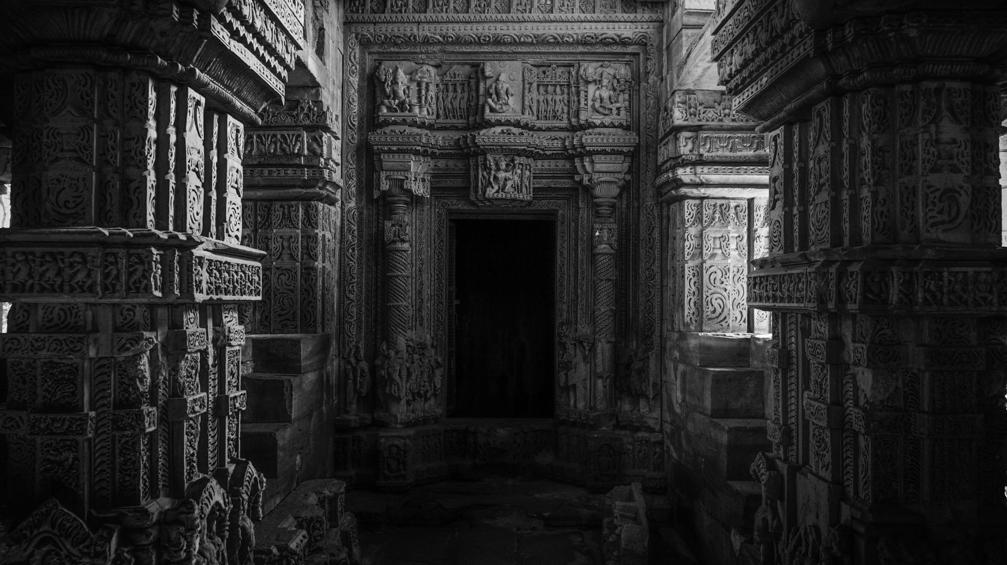
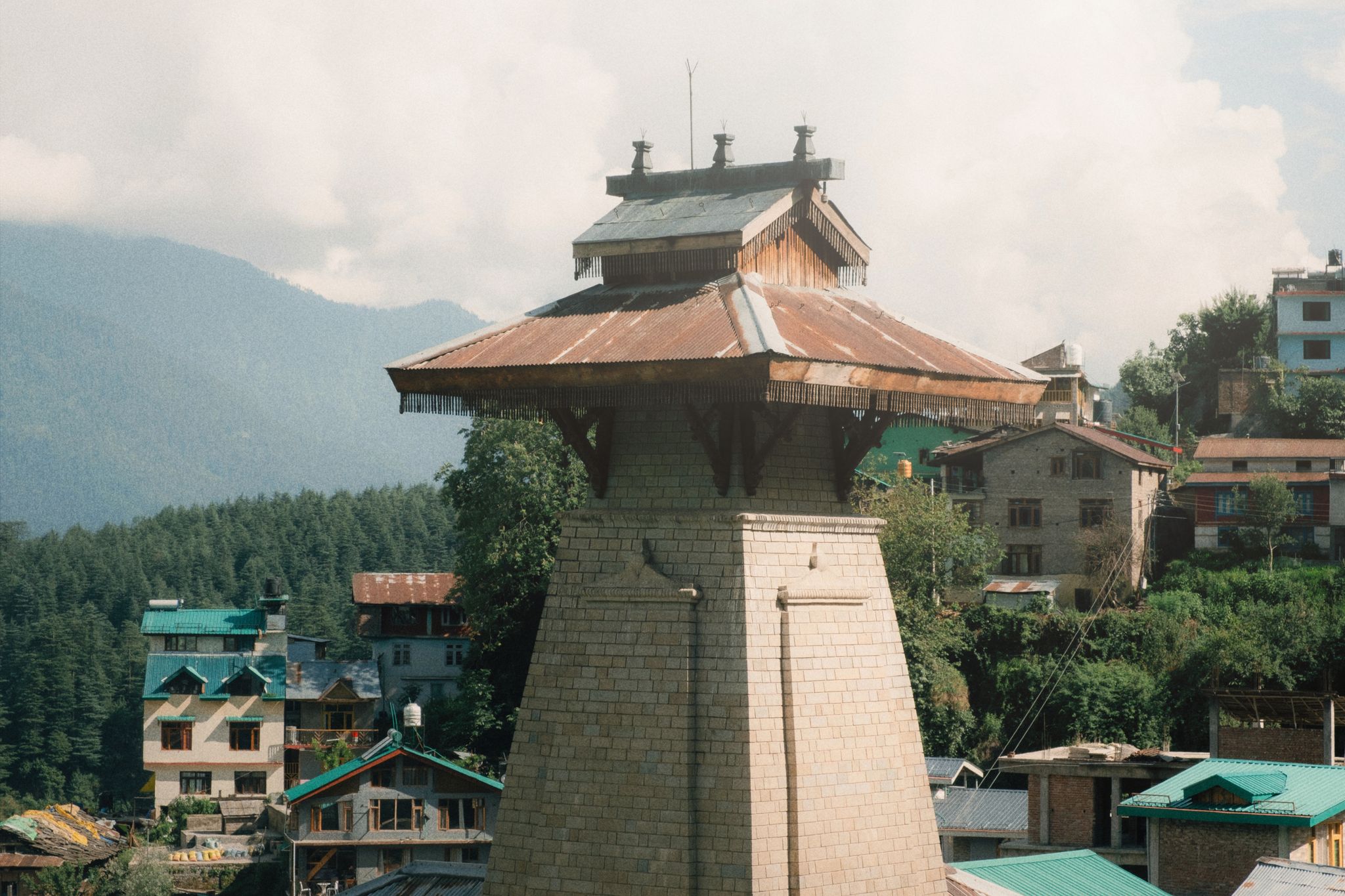
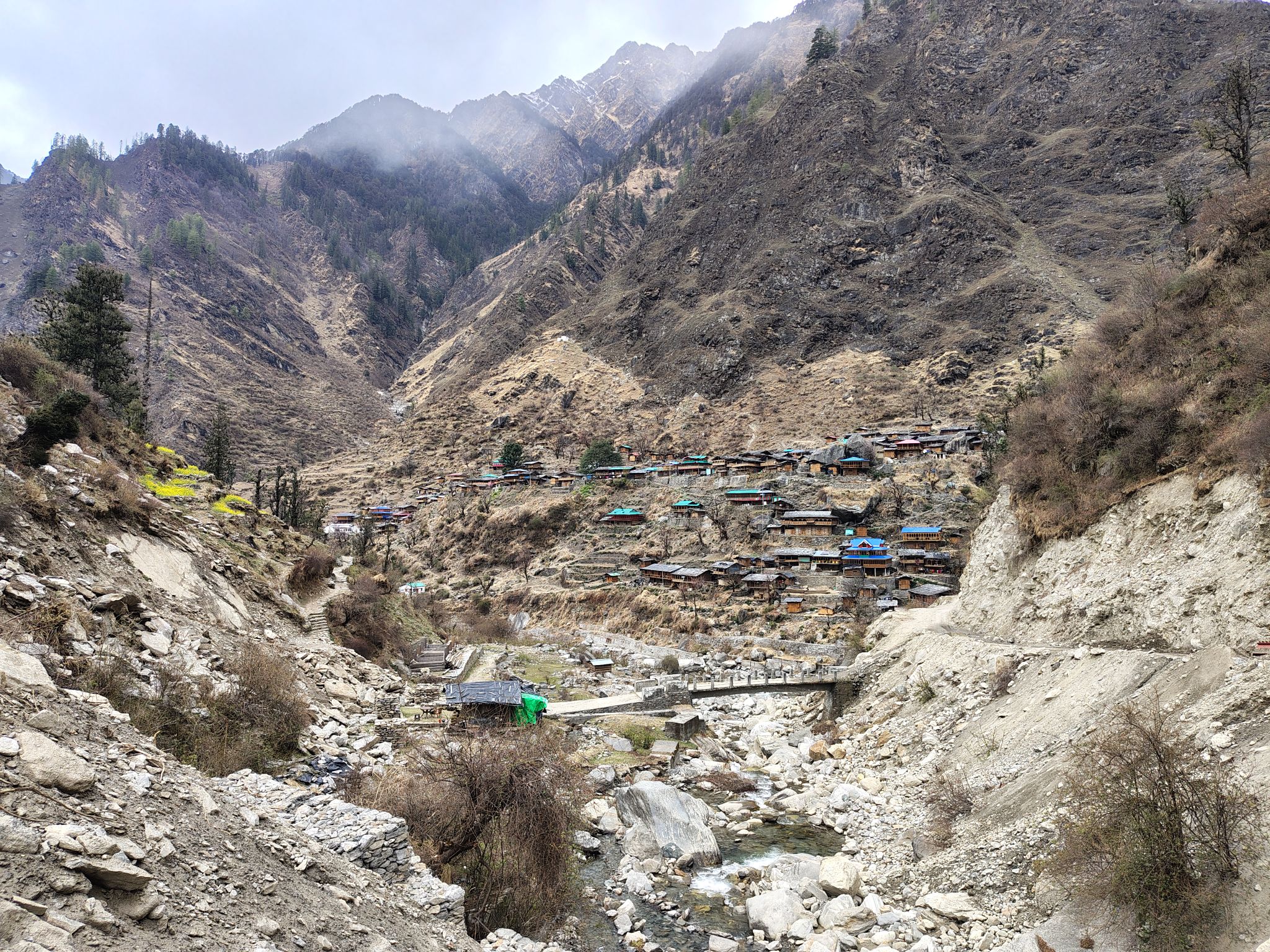
Kinnauri kath-kuni construction — alternating courses of timber and dry stone, which is what keeps these buildings up through earthquakes. Photography inside is usually not allowed, and visitors are sometimes asked not to enter the sanctum.
Rocky banks along a fast, very cold river, loud enough that you cannot hold a conversation beside it. Do not swim — the Parvati has a bad record and the current is far stronger than it looks.
A small fall a short walk through deodar from the village, on a path that gets slippery in the rain. Ten minutes each way, and busy through the afternoon.
The open stretch above the Mall, with Christ Church at one end. Underneath it sits a Victorian water reservoir that still supplies part of Shimla, which is why nothing has ever been built on top of it.
At 4,440 metres, opened in 1983, and it does actually work — one postmaster and a bag that goes down to Kaza and out. Postcards from here take weeks. Carry your own; the shop next door may be shut.
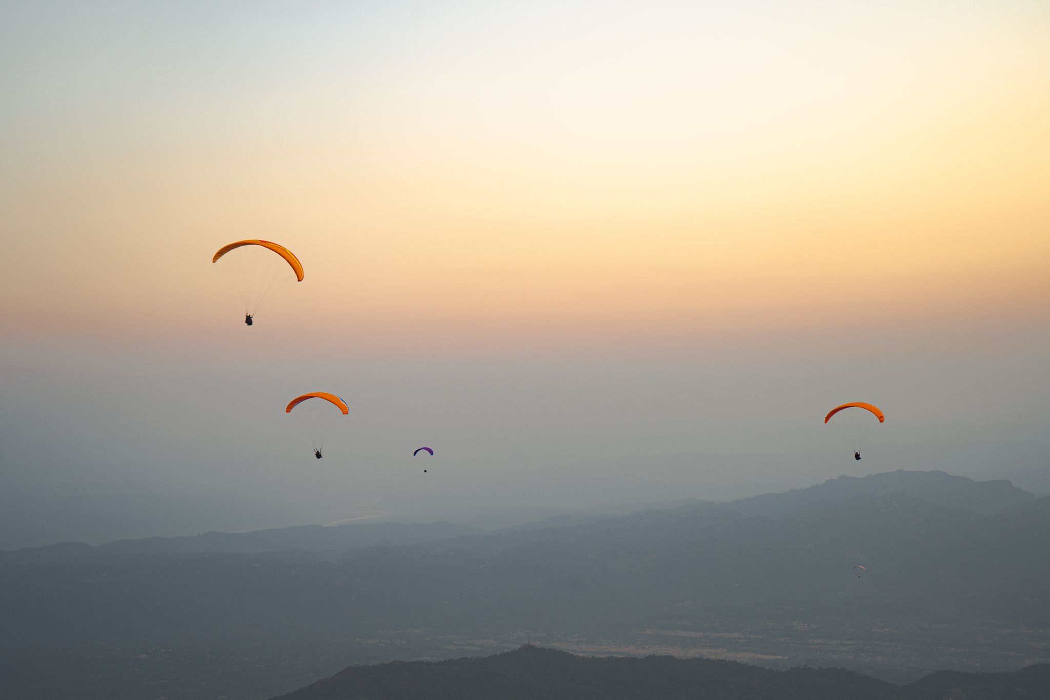
Billing is the launch meadow for Bir's paragliding: a grassy shoulder at roughly 2,400 m, about 14 km and a slow 45-minute jeep climb north of Bir village. Pilots lay out their wings here and step off into the Kangra Valley, with the landing ground at Chowgan on Bir's southern edge, close to 1,000 m below. A standard tandem flight lasts around 15 to 30 minutes depending on conditions; experienced cross-country pilots use the same ridge for flights of several hours.
The flying season runs from mid-September through October, when thermals are most reliable, with some flying into November and a second window in spring. The site effectively closes through the monsoon. Bir-Billing hosted the Paragliding World Cup in 2015 — the first time the event was held in India — and is widely described as the country's paragliding capital.
You do not have to fly to come up. Billing is a rewarding half-day trip on its own for the view across the Dhauladhar range, and it is a popular spot for camping and stargazing.
A small lake in the middle of the meadow with a floating mat of weed drifting across it. It is silting up and smaller than it was, so temper any expectation set by older photographs.
The upper edge of the village, looking up the Parvati to the glaciers at its head. Tosh is the last road head in the valley and the walk out to the view takes about fifteen minutes.
A flat walk of roughly two and a half kilometres right round the lake, worth taking slowly at this altitude. The water reads a different colour from each side depending on the light.


.jpg?width=2048)


.jpg?width=2048)